The singularity of Morocco in comparison to the worlds in which it exists has been built throughout its history, in the unity of Moroccans around the principles that bind them and their attachment to the independence of their country, as well as in their subtle permeability to the interactions, exchanges, and influences of those worlds surrounding it.
By Sidi Mohammed Biedallah, Moroccan diplomat.
Wrapped by the majestic Atlas, surrounded by the Mediterranean Sea, the Atlantic Ocean, and the Sahara - this "other Mediterranean" (Fernand Braudel) - Morocco; This "Finis Orbis" is surrounded by myths and legends: Land of Atlas, condemned by Zeus to bear the celestial vault on his shoulders; Land of the Pillars of Hercules, separated by a sword stroke, creating the Strait (of Gibraltar); Land of the three Gorgons, hermit monsters, and Land of the Atlanteans, direct descendants of Poseidon, whom Zeus punished for their greed by sinking their island, Atlantis.
Described by Strabo in his "Geography," who qualifies Morocco as "the point of communication between the Mediterranean and the Ocean," and Ibn Khaldun, who describes in his "History of the Berbers" Al Maghrib Al Aqsa as a "country detached from any other," the uniqueness of Morocco explains the unalterability of its sovereignty over its territory and the authenticity of its system of government. Morocco has been, since prehistoric times, a "specific geocultural unit."
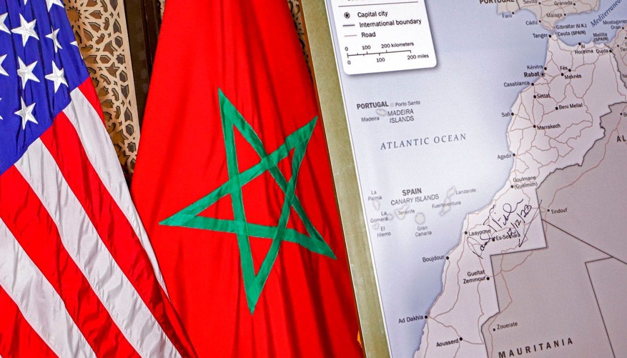
This article aims to revisit some of the foundational events in the history of Morocco, which have allowed it to recognize itself and be recognized within its borders, reflected on its complete geographical map, from Tangier to Lagouira, which the colonial delineation, null and void, cannot alter.
Morocco, Kingdom of the Moors.
Cradle of humanity, where the Homo sapiens of Jebel Irhoud lived 300,000 years ago, Morocco emerges from prehistory, marked by an indigenous population, the Moors (Maurensii in Greek, Mauri in Latin), descendants of the Libyan Imazighens (the Libu, whose territory stretched from the Atlantic to pharaonic Egypt), masters of their territory.
The Moors, and the known world of which they were a part, became aware of their belonging to a well-defined territory, the Tingitane Mauritania - in Roman antiquity -, bordered to the east by the Caesarian Mauritania, and bathed by the "oceans" Mediterranean (the inland sea), Atlantic (the outer sea), and Saharan (the Sahara).
Hanno's Journey.
Hanno, the admiral of Carthage, undertook in the 4th century BC his journey leading an expedition of 60 penteconters, equipped with 50 oars and manned by 3,000 rowers, transporting 30,000 women and men, from the Pillars of Hercules (Tingis, Tangier) to the Island of Cerne or Herne (Río de Oro, present-day Dakhla), to establish Libyo-Phoenician cities.
In order to explore the southernmost reaches of Morocco, the navigator Hanno had to bring, on his maritime expedition, "interpreters from the north" to communicate with the populations in the south of Morocco.
Admiral Hanno reached the Draa River, which would be the Lixos River according to the Periplus. Beyond that, the Chrētēs River, which would be the Seguiet el-Hamra. After crossing the desert, he found a small island that he named Cerne and placed it at the same distance from the Pillars of Hercules as Carthage.
The identification of ancient Cerne with the island Herne in the Bay of Río de Oro (Dakhla Bay) is confirmed by toponymy. The Rio de Oro (eastern) is commonly mentioned in its place on maps from 1460 onwards.
Polybius' Journey.
The author of the Histories and a high-ranking official of the Roman Empire, Polybius (200-120 BC), embarked in the year 146 BC, at the end of the Third Punic War that concluded the reign of Carthage, on his journey along the Atlantic coast of Tingitana. This was part of the Roman policy for the direct control of Morocco's Atlantic maritime routes, including those in the south, as the Phoenicians and later the Carthaginians had done.
Indeed, Polybius reflects this in his work, "in our days, in view of the (conquests) of Alexander's Empire in Asia and Roman domination over the remaining parts of the world, almost the entire world has become navigable or passable (…) For this reason, we should know better and more precisely what was previously unknown (…) It is for this purpose, above all, that we endured the dangers and hardships encountered in a journey through Libya (pre-antique), the Iberian Peninsula, and also Gaul and the sea surrounding these countries from the outside."
In general, regardless of controversies in the interpretations of ancient voyages in the Atlantic – some arguing for short routes, others for longer routes – it is accepted that, during his expedition along the Moroccan Atlantic coastline, Polybius reached Cape Juby (Hesperu Ceras), and most likely Seguia el-Hamra or Rio de Oro.
Journey of King Juba II.
King Juba II undertook, from his accession to power between 25 BC and 13/7 BC, a maritime expedition beyond the Atlas, towards the far southwest of Tingitana, in order to exercise direct control over the routes.
Source of the article: h24info